Read inspiring New Zealand stories about innovative projects that use open data. You can also hear about the challenges, successes and benefits of initiatives to publish open data.
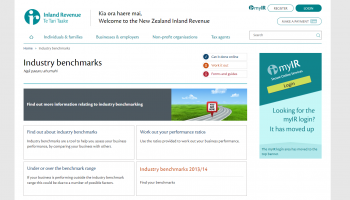
The Industry Benchmarking Tool is a joint initiative between Statistics NZ and Inland Revenue to provide information on the financial performance of businesses in 45 industries.
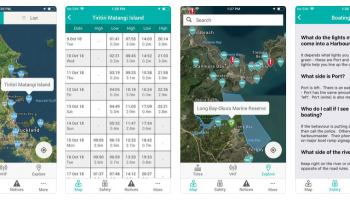
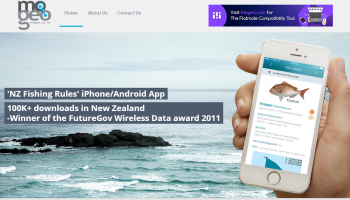
The app contains: Tide timetables using the Nautical Almanac from Land Information NZ, Boat ramps, 5 knot zones, mooring zones, etc from each council Notices to Mariners from each council and from Land Information NZ, Bylaws from each council.
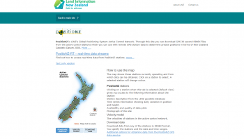
LINZ releases two forms of GNSS data from the PositioNZ network; static data and real-time data. The static data is used by surveyors to determine accurate positions once they have returned from the field, a technique called post-processing.
In May 2005, Environment Canterbury began releasing public transport data for re-use. The data includes route details, bus stop locations, scheduling details, as well as the real time bus estimated time of arrivals (ETAs).
In April 2010, WCC began licensing and releasing geospatial data for re-use. This includes aerial photos, historic maps, boundaries, contour lines, building footprints, utility networks, hazard information and locations of WCC facilities.