Land Information New Zealand (LINZ) is the New Zealand government department responsible for land titles, geodetic and cadastral survey systems, topographic information, hydrographic information, managing Crown property and a variety of other functions.
LINZ, in partnership with GNS Science, through the GeoNet project collects Global Navigation Satellite Systems (GNSS) data from a network of 37 continuously operating stations throughout New Zealand.
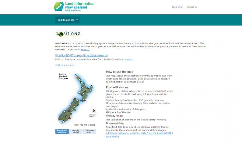
GNSS is the generic term given to navigation satellite constellations; the most familiar of these is the United States’ Global Positioning System (GPS). The purpose of the network is to monitor New Zealand’s official datum, New Zealand Geodetic Datum 2000 (NZGD2000), by measuring the effects that tectonic plate motion and earthquake displacements have on it. This network is called PositioNZ.

LINZ releases two forms of GNSS data from the PositioNZ network; static data and real-time data. The static data is used by surveyors to determine accurate positions once they have returned from the field, a technique called post-processing. The real-time data is streamed via the internet to users in the field to allow for accurate positioning in real-time. Both the static and real-time data are utilised for surveying, construction, asset management and scientific applications.
The static data is provided in an open format developed by the GNSS community. This open format allows the data to be used with many different GNSS receiver brands and models.
The real-time (PositioNZ-RT) service also provides GNSS data in an open format designed for streaming data via the internet. Users registered for real-time services include private cadastral survey companies, engineering firms, local and regional councils, and university and research facilities, as well as groups engaging in emergency management and aerial imagery rectification activities.
Both datasets are licensed for re-use under the CC-BY 3.0 NZ license.
The GNSS community has known the benefits of releasing static data for years. It is standard practice for government agencies and research institutions to make this data available.
The real-time service was commissioned in 2009 in response to a recommendation by McKenzie Podmore Limited, who produced an independent economic report analysing the benefit of a national real-time GNSS network
The report also highlighted the significant interest in the real-time data from commercial GNSS providers. These providers now use the PositioNZ-RT network as a fundamental component of their commercial services.
LINZ has since formally recognised the increased efficiencies of improving access to GNSS data in the LINZ 2013-2016 Statement of Intent, which includes this key initiative:
"preparing a geodetic services strategy that includes recommendations to improve the current delivery of geodetic services to customers who are increasingly using global systems such as Global Navigation Satellite Systems (GNSS) and datums”
Difficulties in setting reliable service levels – Real-time data is heavily reliant on communications networks and continuous availability. As the PositioNZ network was initially designed for deformation monitoring purposes, many of the stations are in remote locations that do not have access to reliable communication networks, and are difficult to access for urgent repairs. LINZ and GeoNet operate PositioNZ-RT with best endeavours to keep the service operative, but intend to publish formal service levels in mid to late 2014.
User registration required to access real-time data – As of October 2013 LINZ has required users to register for PositioNZ-RT. Previously the service was accessed anonymously. This caused problems when trying to notify users of planned maintenance or unexpected outages. It was also difficult to report uptake and use of the service. This reporting is important to justify improvements to the real-time service.
This case study was last updated in May 2014.